GAWAH News Desk | October 31, 2026
The Supreme Court has upheld the Telangana government’s title to about 550 acres and 39 guntas of disputed land in Miyapur, dismissing a batch of connected appeals against a 2003 Andhra Pradesh High Court judgment. The land is located in Survey Nos. 100 and 101 of Miyapur village in Serilingampally mandal, now in Rangareddy district.
The judgment, delivered on October 29, 2026, in Bandari Ramchander and Others v. Maitri Cooperative Housing Society Ltd. and Others (2026 INSC 1175), leaves the High Court’s finding that the specified parcels belong to the State undisturbed. It is a ruling about these survey numbers and the claims before the Court—not a blanket decision on every property or title dispute in Miyapur.
What exactly did the Supreme Court decide?
A Bench of Justices M.M. Sundresh and Satish Chandra Sharma dismissed the appeals after examining competing claims based on historical grants, inheritance, revenue records and later transactions. The Court found no reason to interfere with the High Court’s 2003 judgment, which had upheld earlier findings that the disputed land vested in the State.
The Court’s judgment records that the 1912 survey classified the two parcels—Survey No. 100, measuring 277 acres and 5 guntas, and Survey No. 101, measuring 273 acres and 34 guntas—as Sarkari poramboke, or government land. The classification appeared in the historical classer register and Sethwar records.
Why did the Nizam-era jagir history matter?
Some claimants traced their rights to a Paigah or jagir grant connected with the former Hyderabad State. The Supreme Court explained that a jagir grant conferred rights in respect of land revenue; it should not be treated as proof of ownership of the land itself.
The Andhra Pradesh (Telangana Area) Abolition of Jagirs Regulation, 1358 Fasli, came into effect in 1949. The Court examined the transfer of jagir administration to the State and the commutation proceedings through which the former jagirdar became entitled to a one-time payment. It held that the historical jagir claim could not, by itself, establish private title to the disputed parcels after abolition.
What did the Court say about the disputed revenue entries?
One chain of claims relied on entries in the pahanies of the early 1950s that recorded a claimant as pattedar. The Court noted that these entries appeared despite other columns continuing to describe the land as poramboke and sarkari. It also referred to a 1995 inspection that found the land to be wasteland covered by boulders, without visible agricultural operations or possession by the claimant.
In this specific case, the Court described the disputed revenue entries as bogus and not genuine, and said they resulted from fraud in collusion with revenue officials. It also held that a mere entry, without lawful proceedings, could not create a right to the land. These findings relate to the records and parties examined in this litigation; they should not be generalised to unrelated property records or owners.
Does the ruling mean the government can immediately clear or sell the land?
The judgment dismisses the appeals and notes that the lands had been transferred in favour of the Hyderabad Urban Development Authority (HUDA). It also expressly says that the Court was not deciding the disputes among the private claimants themselves. The order does not set out a fresh land-sale plan, approve a development project or issue a blanket demolition direction. Separately, the Rangareddy district collector told The Times of India that authorities would protect the open land and that no action would be taken on existing structures for now; the State will take a call on the colonies.
Any decision on securing possession, resolving remaining administrative issues or deciding future public use would have to be taken through the relevant government and legal processes. The Chief Minister has said the State Cabinet will discuss the next steps, according to a report by India Today. The Court’s judgment itself should not be read as an announcement that the land is being auctioned or that a particular project has been approved.
What is being reported about the latest land survey?
A Times of India report published on October 31 said a district-level survey found around 400 acres vacant and about 150 acres occupied. GAWAH could not locate a publicly available official survey report confirming that breakdown during this scan. The figures are therefore attributed to that newspaper report; they are not findings made by the Supreme Court in its judgment.
What does the ruling mean for Miyapur property buyers?
The decision is important for the specific government land identified in Survey Nos. 100 and 101. It does not mean that every plot, apartment or private property in Miyapur is affected. Buyers and owners should identify the exact survey number, boundaries and chain of title for their own property, and obtain certified revenue and registration records before drawing conclusions from this case.
Frequently asked questions
How much land was involved in the Miyapur case?
The judgment concerns 550 acres and 39 guntas in Survey Nos. 100 and 101 of Miyapur village.
When did the Supreme Court deliver its judgment?
The judgment in 2026 INSC 1175 was delivered on October 29, 2026.
Did the Supreme Court order demolition of buildings on the land?
The judgment dismissed the appeals and noted the transfer of the lands to HUDA. It does not contain a blanket direction to demolish buildings or evict all occupants.
Does the ruling apply to all of Miyapur?
No. It decides the specific parcels and claims in Survey Nos. 100 and 101. Other land parcels and property disputes must be assessed on their own records and legal history.
Primary document and reporting
- Supreme Court of India: Bandari Ramchander & Others v. Maitri Cooperative Housing Society Ltd. & Others, 2026 INSC 1175 (PDF)
- The Times of India: report on the district survey, October 31, 2026
- India Today: Supreme Court verdict and Telangana government’s response
- Deccan Chronicle: background to the Miyapur land dispute
Legal note: This report summarises a judgment and public reporting for general information. It is not legal advice and does not determine the title of any property outside the specific parcels adjudicated by the Court.
More local reporting: Follow the latest Hyderabad news and Telangana news on GAWAH.
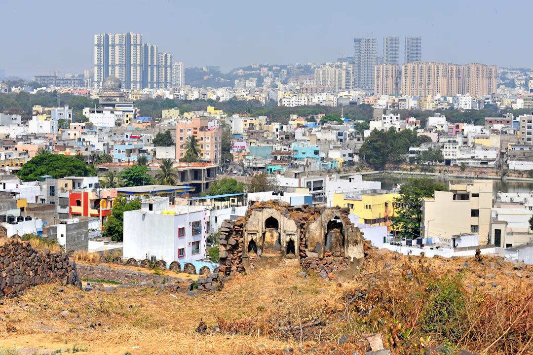
Image: Representative Hyderabad cityscape; not a photograph of the disputed Miyapur land. Photo by Brijender Dua/Unsplash.