New Delhi, October 7, 2026: India’s southwest monsoon has officially ended, yet rain and thunderstorms are still appearing across parts of the country. That may sound contradictory, but it is not.
The important distinction is between the end of the southwest monsoon as a seasonal circulation pattern and the end of rainfall itself. Individual weather systems can continue to produce rain after the monsoon begins withdrawing—and October is also the transition month before the northeast monsoon becomes important over southern India.
At the same time, the India Meteorological Department (IMD) expects October rainfall for India as a whole to be below normal. So how can both statements be true?
Has the monsoon really ended?
Yes, the southwest monsoon season has ended—but that does not mean every part of India suddenly becomes dry.
The southwest monsoon is a large-scale seasonal wind and rainfall system. IMD’s withdrawal criteria include a sustained cessation of rainfall, changes in lower-atmosphere circulation and a reduction in moisture. Further withdrawal is assessed using the continuity of these signals and the prevalence of dry weather.
Once the southwest monsoon withdraws, other atmospheric systems can still generate rain over individual regions.
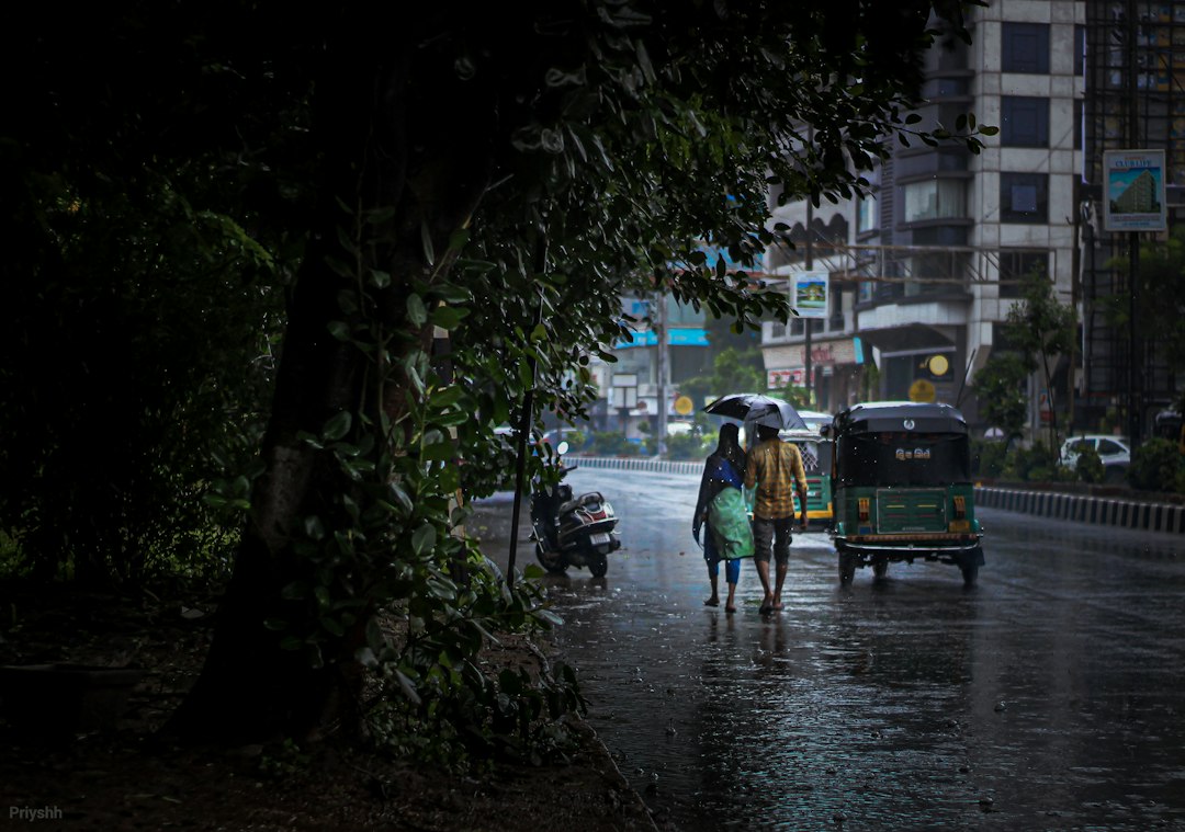
Illustrative image. Photo by Priyash Vasava via Unsplash.
Why is it still raining in October?
There are several reasons.
- Withdrawal is gradual: The southwest monsoon does not switch off over the entire country at one moment. Its withdrawal progresses region by region.
- Weather systems continue to form: Low-pressure areas, upper-air circulations, thunderstorms and moisture convergence can produce rain even as the seasonal monsoon circulation weakens.
- October is a transition month: The atmosphere is changing from the southwest-monsoon regime toward the post-monsoon pattern.
- The northeast monsoon becomes important in the south: Southern peninsular India can receive substantial rainfall during October-December as the northeast monsoon develops.
Does October rain mean the monsoon has returned?
No.
A spell of rain after the southwest monsoon has withdrawn from a particular area does not automatically mean the southwest monsoon has returned. Weather systems operate on much shorter timescales than the seasonal monsoon circulation.
This is why a city can have a heavy shower or thunderstorm while the broader seasonal rainfall outlook remains dry.
What does the IMD actually forecast for October 2026?
This is where the picture becomes more interesting. The IMD’s monthly outlook says all-India rainfall during October 2026 is likely to be below normal—less than 85% of the long-period average. The October long-period average is about 75.4 mm, based on 1971-2020 data.
The forecast is probabilistic, however. It does not mean every state, district or city will receive less rain. The IMD expects some areas of northwest India, southern peninsular India and isolated parts of eastern India to receive normal or above-normal rainfall.
So why can there be heavy rain during a below-normal month?
Because an average is not a daily weather forecast.
Imagine a month in which most days are dry but two or three weather systems produce intense rain. Those short spells can cause flooding, traffic disruption or local damage even though the month’s total rainfall ultimately remains below its long-term average.
This distinction is especially important when reading weather headlines. “Heavy rain likely in some places” and “India will have above-normal rainfall this month” are completely different statements.
What is happening in southern India?
Southern India has a different seasonal story because the northeast monsoon becomes increasingly important from October onward. The IMD’s seasonal outlook expects rainfall over south Peninsular India during October-December to be normal overall, although rainfall can vary substantially between locations.
Tamil Nadu, Puducherry, coastal Andhra Pradesh, Rayalaseema, Kerala and south interior Karnataka are among the areas that depend significantly on the post-monsoon rainfall season.
What about Telangana and Hyderabad?
Telangana is not currently under a broad IMD warning. The IMD’s subdivision-wise warning issued on October 6 listed no warning for Telangana from October 6 through October 12.
That is an important local distinction: a national headline about rain does not automatically translate into a heavy-rain warning for Hyderabad. Local forecasts and district-level warnings should be checked before making travel or safety decisions.
Why is El Niño being mentioned in the October rain discussion?
Strong El Niño conditions are currently present in the tropical Pacific and are an important part of the 2026 climate background. The 2026 southwest monsoon ended with rainfall about 12.6% below the long-period average, according to IMD figures.
El Niño is associated historically with weaker Indian monsoon rainfall, although it does not determine the weather in every place on every day. Individual Indian weather systems, ocean conditions, atmospheric circulation and regional factors also matter.
Was 2026 India’s weakest monsoon in years?
The 2026 southwest monsoon produced about 759.4 mm of rainfall against a long-period average of 868.6 mm, a deficit of roughly 12.6%. IMD described it as the fourth-lowest all-India monsoon rainfall total since 2001.
That makes the post-monsoon outlook important for agriculture, reservoirs and water planning. A below-normal October could add pressure in regions that already experienced rainfall deficits, even though some southern areas may receive normal post-monsoon rainfall.
Does rain in October mean India’s water situation is improving?
Not necessarily.
Water availability depends on where rain falls, how intense it is, whether it reaches reservoirs and groundwater systems, and how much water is already available. A short, intense cloudburst can produce flooding while adding less useful stored water than several days of moderate rain.
This is why water managers look at cumulative rainfall, reservoir storage and regional rainfall distribution rather than simply counting rainy days.
What should people expect in the coming weeks?
The broad national signal is for a warmer and drier-than-normal October, but with regional spells of rain and thunderstorms. Southern peninsular India then enters the more important northeast-monsoon period, when rainfall patterns can change significantly.
In practical terms, the weather may remain highly variable: dry and hot conditions in one region, thunderstorms or heavy showers in another, and a completely different pattern farther south.
The bottom line: Why is India still getting rain after the monsoon?
Because the end of the southwest monsoon is not the end of Indian rainfall.
October is a transition month. The southwest monsoon withdraws progressively, while short-lived weather systems can continue to produce rain. In southern India, the northeast monsoon is beginning to become the more important seasonal rainfall mechanism.
So there is no contradiction between rain falling today and the IMD forecasting below-normal rainfall for India as a whole in October. One describes short-term weather; the other describes a monthly seasonal probability.
Sources and further reading
- India Meteorological Department: Southwest Monsoon Withdrawal Criteria
- India Meteorological Department: Current Weather and Extended Range Forecast
- India Meteorological Department: Seasonal Forecast and October 2026 Outlook
- IMD: Subdivision-wise Warning for Telangana
- Business Standard: 2026 monsoon rainfall and IMD outlook
- Reuters: India’s 2026 monsoon rainfall